'Het Huyterhuys' water authority headquaters -Walkingroute Waterways
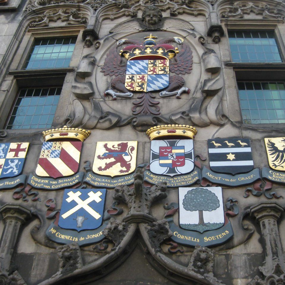
Here we see ‘Het Huyterhuis’ the original headquarters of the Delfland Water Authority and the first residential building in Delft to have a stone facade; only the churches are older.
The Delfland Water authority was established in 1289 by Count Floris V. For 730 years the water authority has been working on three key tasks: keeping our feet dry (protection through a good water system), water management (protection though dikes and dams), and treating waste water (wastewater treatment plants). The Delfland Water Authority bought this residential building in 1645 and converted it into offices. Would you like to take a look inside? Then see the film below from Open Monumentendag.
Sandy soils and higher areas
De Oude Delft is the oldest canal in the city and is situated on sandy soil. Unlike the surrounding peat areas, sand is not prone to shrinkage and subsidence.
Check out the difference betwee…
The Delfland Water authority was established in 1289 by Count Floris V. For 730 years the water authority has been working on three key tasks: keeping our feet dry (protection through a good water system), water management (protection though dikes and dams), and treating waste water (wastewater treatment plants). The Delfland Water Authority bought this residential building in 1645 and converted it into offices. Would you like to take a look inside? Then see the film below from Open Monumentendag.
Sandy soils and higher areas
De Oude Delft is the oldest canal in the city and is situated on sandy soil. Unlike the surrounding peat areas, sand is not prone to shrinkage and subsidence.
Check out the difference between street level and the water level (1.5-2 m). Keep this in mind, because at Point 3 Rietveld we will ask you to check out the difference between the street level and the water level again.
Delft lies in the operational area of Delfland
The area in which Delfland operates stretches from the North Sea to Berkel en Rodenrijs, and from the Nieuwe Waterweg to The Hague. Delft is relatively low-lying compared to the surrounding water levels and what is more it is far from the North Sea and the Nieuwe Waterweg (where the pumping stations are situated), which means it is more prone to flooding than elsewhere in the Delfland operational area. Excess rainwater is carried away by canals and pumping stations.
Flooding
The Delfland region, including Delft, was affected by flooding in 1998, 1999 and 2000. Studies of why this came about revealed three primary causes:
1. Climate change (intensifying precipitation, higher temperatures)
2. Ground subsidence (peaty soils, load on the underlying soil due to building activities)
3. Increase in the paved surface (greenhouse horticulture, new housing, road construction)