Delft Waterways and the compartmentable city centre canal system
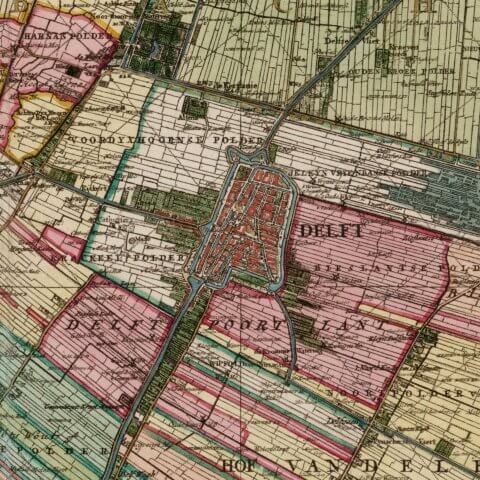
Let us take you on a journey through the waterways of Delft, using the map drawn up by the brothers Jacob en Nicolaes Kruikius commissioned by the Delfland Water Authority in 1712.
Kruikius Map from 1712
Created using the surveying instruments of the time, such as the Holland Circle for measuring angles and a surveyors’ chain with a fixed length. Despite the expansion of towns and villages in the area, which required the filling in of drainage canals in the polders, the map remains very accurate and up to date. The map shows the North Sea at the top, turned 90 degrees because of the border decorations.
It includes all the dikes, polder dikes, locks, ring canals, polder drainage channels, windmills, bridges and the plot boundaries in the area.
Digital magnifying glass
You can use a digital magnifying glass to look through the modern map here and see the Kruikius Map from 1712. You can also use it to examine the border decorations.
Sights on this route
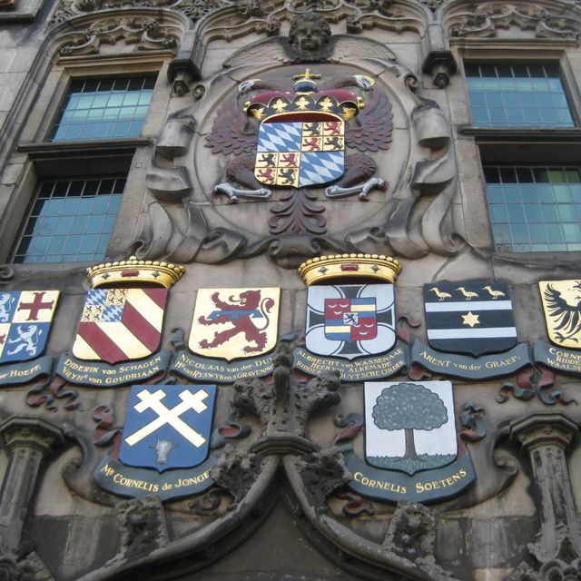
'Het Huyterhuys' water authority headquaters -Walkingroute Waterways
Here we see ‘Het Huyterhuis’ the original headquarters of the Delfland Water Authority and the first residential building in Delft to have a stone facade; only the churches are older.
Oude Delft 1672611HB Delft
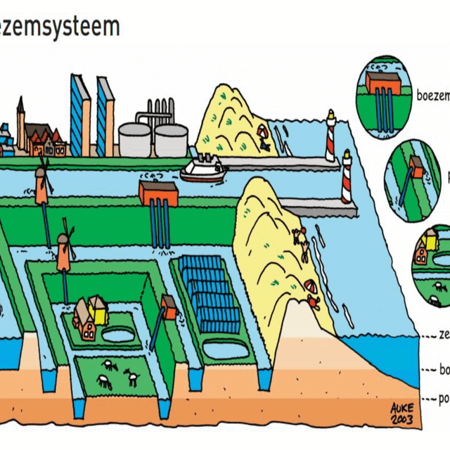
On the way to point 3 Boezem and Polders
The Delfland water system: Boezem and polders
Geerwegdelft
Duyvelsgat Bridge
Duyvelsgat Bridge – Pumping Station Integrated In The Land Abutment Of The Bridge
Kantoorgracht 852611PE Delft
Duyvelsgat Bridge
Duyvelsgat Bridge – Pumping Station Integrated In The Land Abutment Of The Bridge
Kantoorgracht 852611PE Delft
Rietveld - Walkingroute Waterways
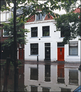
Rietveld the most low-lying part of the historic city centre of Delft
RietveldDelft
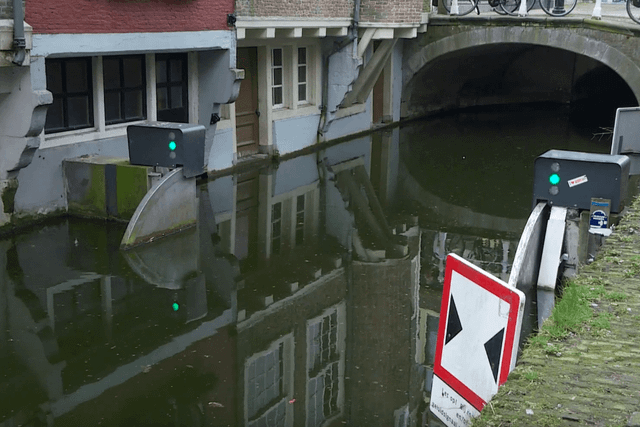
Voldersgracht - one of the six tilting barriers - Walkingroute Waterways
In the Voldersgracht you can see one of the six tilting barriers that protect Delft city centre from flooding.
VoldersgrachtDelft

IHE Delft and the WaterLab
Besides education, IHE Delft carries out research and works together with Dutch and local partners on capacity-building projects all over the world.
Westvest 72611AX Delft